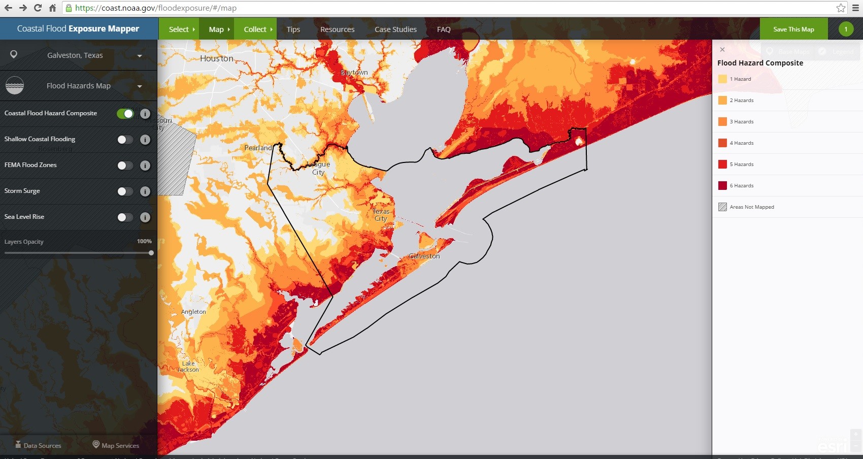
Coastal Flood Exposure Map, NOAA This screenshot shows composite coastal flood hazards in Galveston County, Texas. Societal, infrastructure, and ecosystem risks can be overlaid to assess vulnerability.

 Coastal Resilience
Coastal Flood Exposure Map, NOAA This screenshot shows composite coastal flood hazards in Galveston County, Texas. Societal, infrastructure, and ecosystem risks can be overlaid to assess vulnerability.